

Mapping for the future: MACBLUE led workshop upskills Vanuatu in seagrass and mangrove conservation
9 July 2025, Port Vila, Vanuatu: The MACBLUE GIS workshop series concluded last week in Vanuatu, bringing together key stakeholders for a week-long event from June 23 to 27.
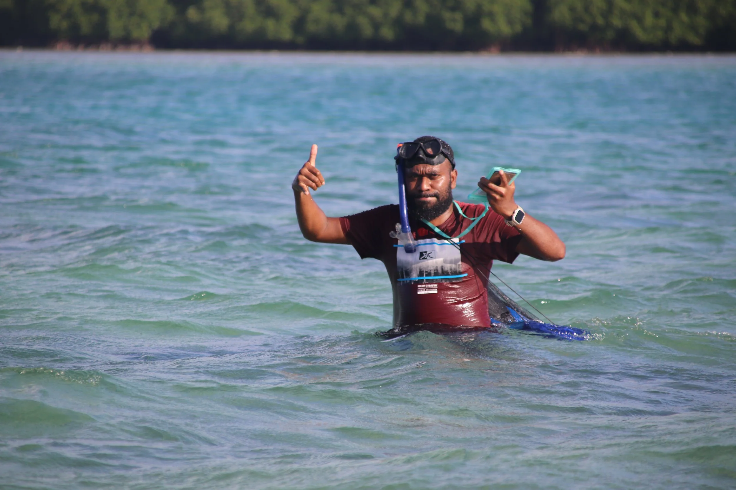
Throughout the week, participants immersed themselves in hands-on training focused on the use of GIS and earth observation tools with a field exercise in Panganisu. For many of the 24 participants, it was an opportunity to turn theory into practice, strengthening skills that will directly support their work in the field. Amongst them were Stephanie Sali and Tima Allason.
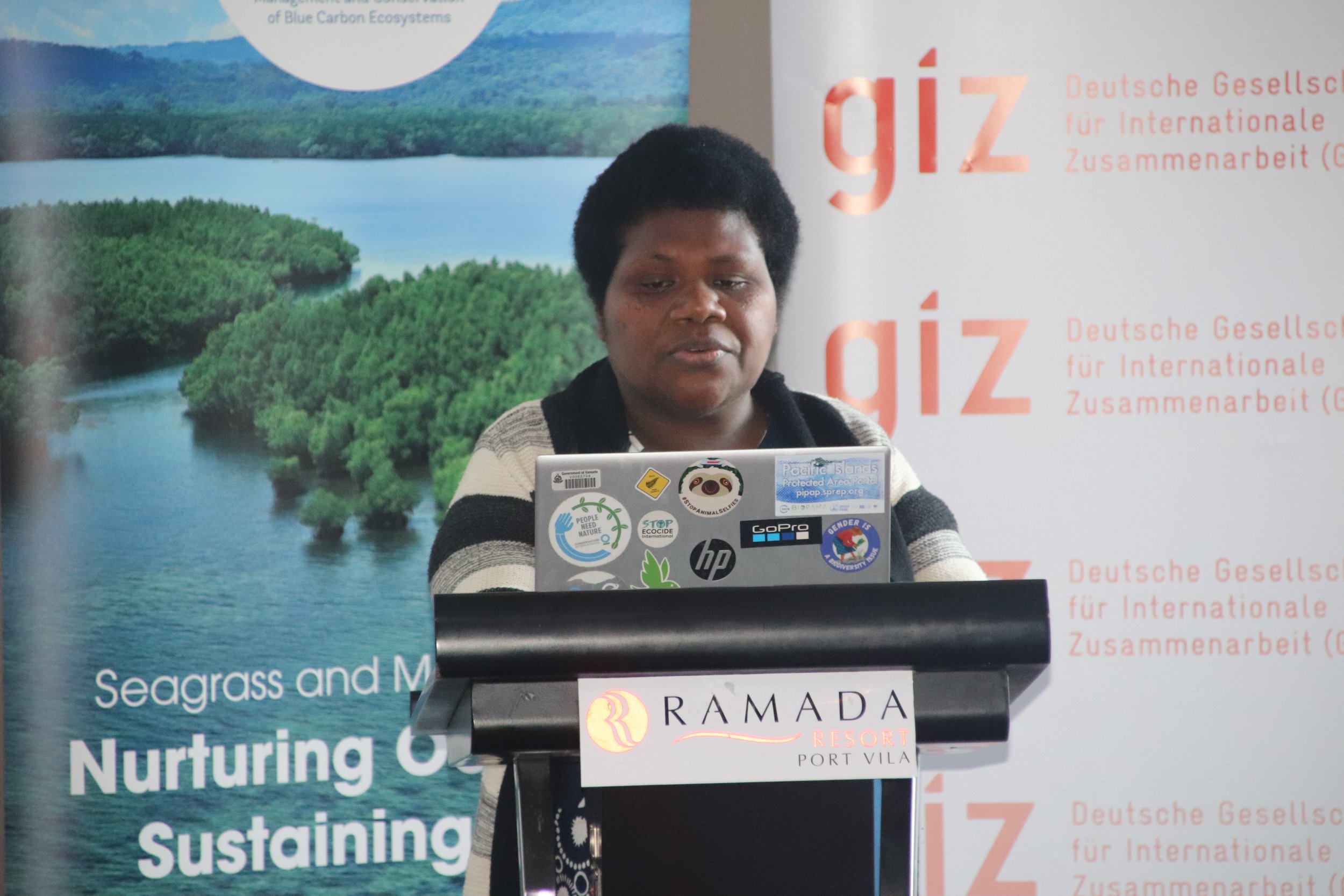
In her opening remarks for the workshop, Rolenas Tavue Baereleo, Principal Officer (Biodiversity and Conservation), Department of Environmental Protection and Conservation, acknowledged the role of mangroves and seagrasses as natural allies in the fight against climate change.
Rolenas Tavue Baereleo, Principal Officer (Biodiversity and Conservation), Department of Environmental Protection and Conservation
“Their ability to store carbon, protect coastlines, and sustain marine life highlights their strategic value in both environmental and socio-economic terms. However, to manage and protect these ecosystems effectively, we must first be able to understand them, and that begins with accurate, science-based mapping and monitoring,” Baereleo shared.
“This training is a timely opportunity to strengthen our technical capacity in using earth observation tools to generate data that is reliable, up-to-date, and useful for decision-making at both the national and community levels.”
“One of the most interesting topics we covered was the use of QField. This data collection tool is also important for the forestry sector; it can also collect information on what we saw on the ground compared to what we see on the satellite,” Stephanie Sali, the Forest Climate Change Officer at the Department of Forests' Measurement, Reporting, and Verification (MRV) Unit shared.
She added that this work builds on the MRV Unit's previous mangrove inventory from 2021 and will directly support forest monitoring and future project planning.
"When I return to my office, we will discuss what we gained from this workshop. We will arrange with our boss in the office to create some other projects because all the steps and topics that were discussed during the workshop are more intentional for our department."
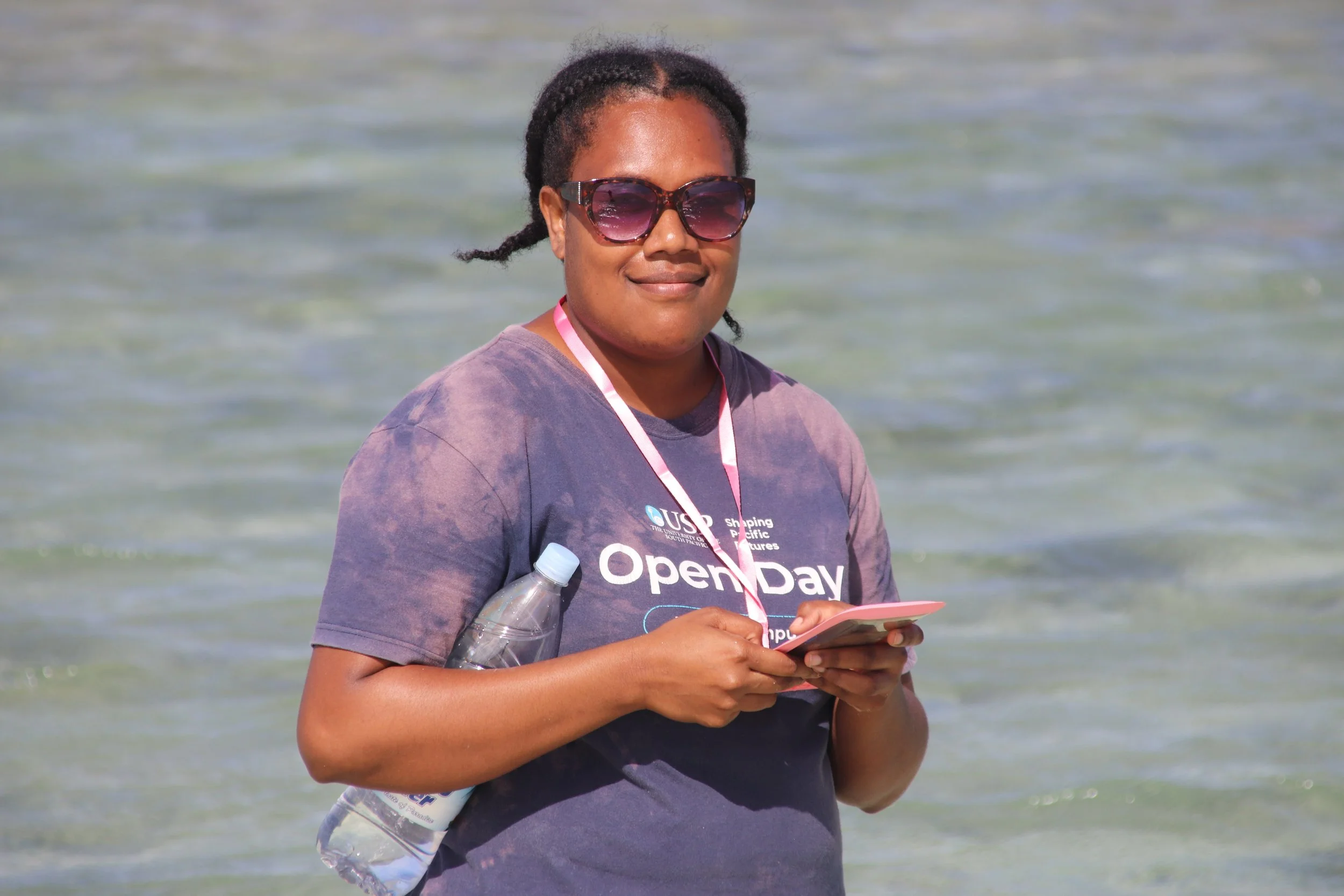
Tima Allanson, Biology Lab Technician at the University of the South Pacific (USP) Emalus Campus, facilitates field classes to enhance students' practical skills, including sampling flora and fauna within terrestrial and marine ecosystems.
Her role involves guiding students through fieldwork, often collecting and analysing samples from both terrestrial and marine ecosystems. Now, with QGIS in hand, she sees new possibilities.
Tima Allanson, Biology Lab Technician at the University of the South Pacific (USP) Emalus Campus
“QGIS will come in handy, allowing me to pre-determine the points. If I do my sampling after this workshop and I notice a particular species in a particular area, I can map it out using QGIS and save the coordinates for later. So, when I come back the following year to sample that particular species, I will already know the location because I have already saved the coordinates,” she shared.
The Vanuatu workshop was the last in a series of MACBLUE technical capacity-building workshops delivered across the Pacific, following successful events in Fiji, Papua New Guinea, and Solomon Islands. A total of 98 representatives from these four countries participated.
As part of its contribution to the MACBLUE project, the Pacific Community (SPC) led technical workshops that included mapping of seagrass and mangrove extents. These workshops facilitated collaboration between MACBLUE partners and local institutions to jointly collect data and generate maps through Digital Earth Pacific. The workshops also contributed to building national capacity to access, analyse, and apply the data.