

Regional Experts Gather for 2025 PGRSC Meeting
27th November 2025 – Suva, Fiji
The Pacific Geospatial and Remote Sensing Council (PGRSC) held its annual user conference from 24th to 27th November 2025 at the University of the South Pacific’s Japan ICT Centre in Suva. This year’s theme “Building and Enhancing Geospatial Networks in the Pacific Islands” brought together more than 200 technical experts, regional representatives, policymakers and regional organisations to share and exchanged on cutting edge technologies and collaborations in the fields of mapping, remote sensing and spatial data infrastructure.
The MACBLUE project presented the national level seagrass and mangrove extent maps that were developed for its four partner countries, Fiji, Papua New Guinea, Vanuatu and Solomon Islands. The open-source extent maps and associated change cover can be accessed freely using the Digital Earth Pacific platform, developed by the Pacific Community (SPC). Shyam Lodhia (GIZ) highlighted the benefits of open-source GIS tools enabling countries to quantify the loss and gain of blue carbon ecosystem cover for blue carbon reporting and aiding conservation activities.
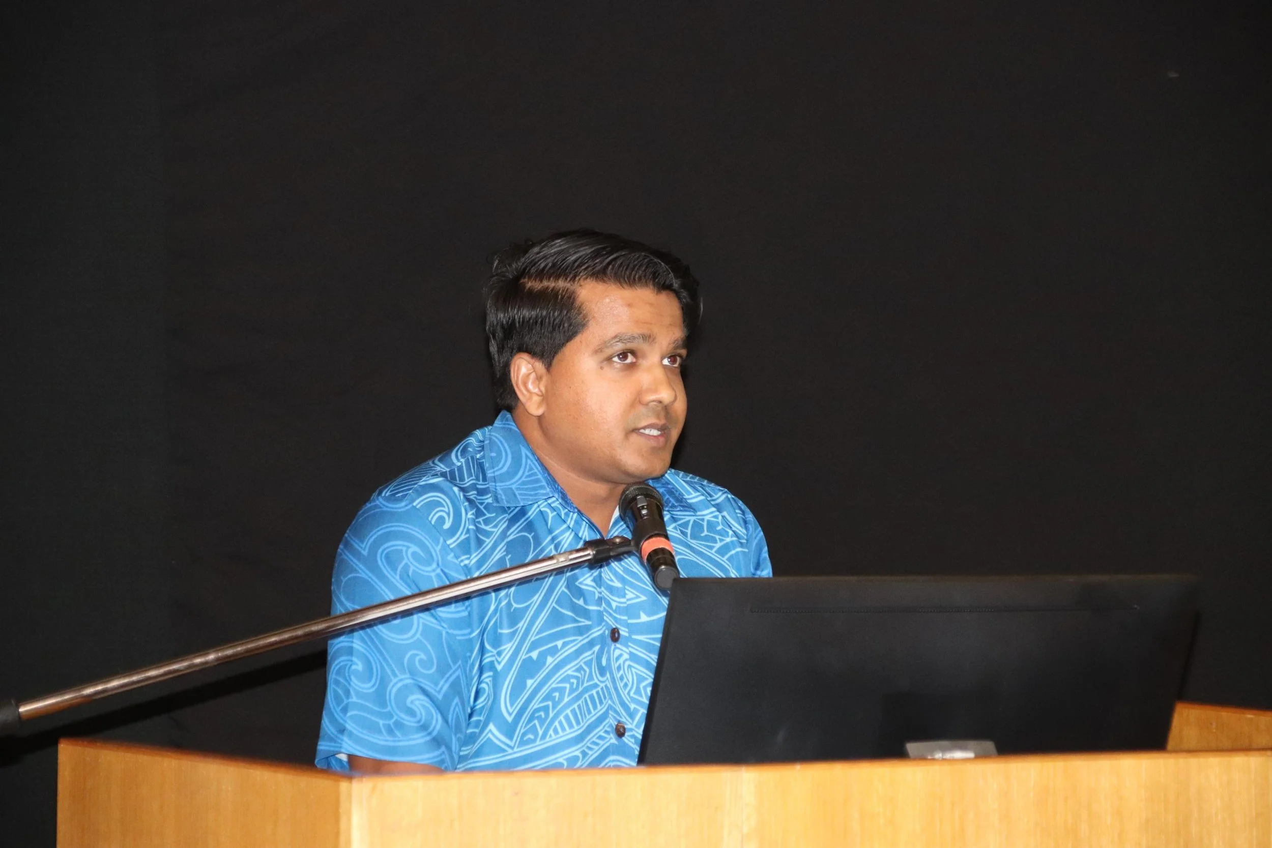
Shyam Lodhia - Technical Officer, GIZ
Nicholas Metherall (SPC) further elaborated on Digital Earth Pacific’s range of GIS products, that include coastline change analysis and marine habitat, alongside the mangrove and seagrass extent maps and change cover datasets supported by MACBLUE.

Nicholas Metherall - Technical Officer, SPC
The conference underscored a shared commitment to fully leveraging geospatial capacity and expanding the use of open-source GIS, Earth observation and regional solutions to strengthen climate resilience across the Pacific.